JOIN MILLIONS OF
ADICLUB MEMBERS
explore

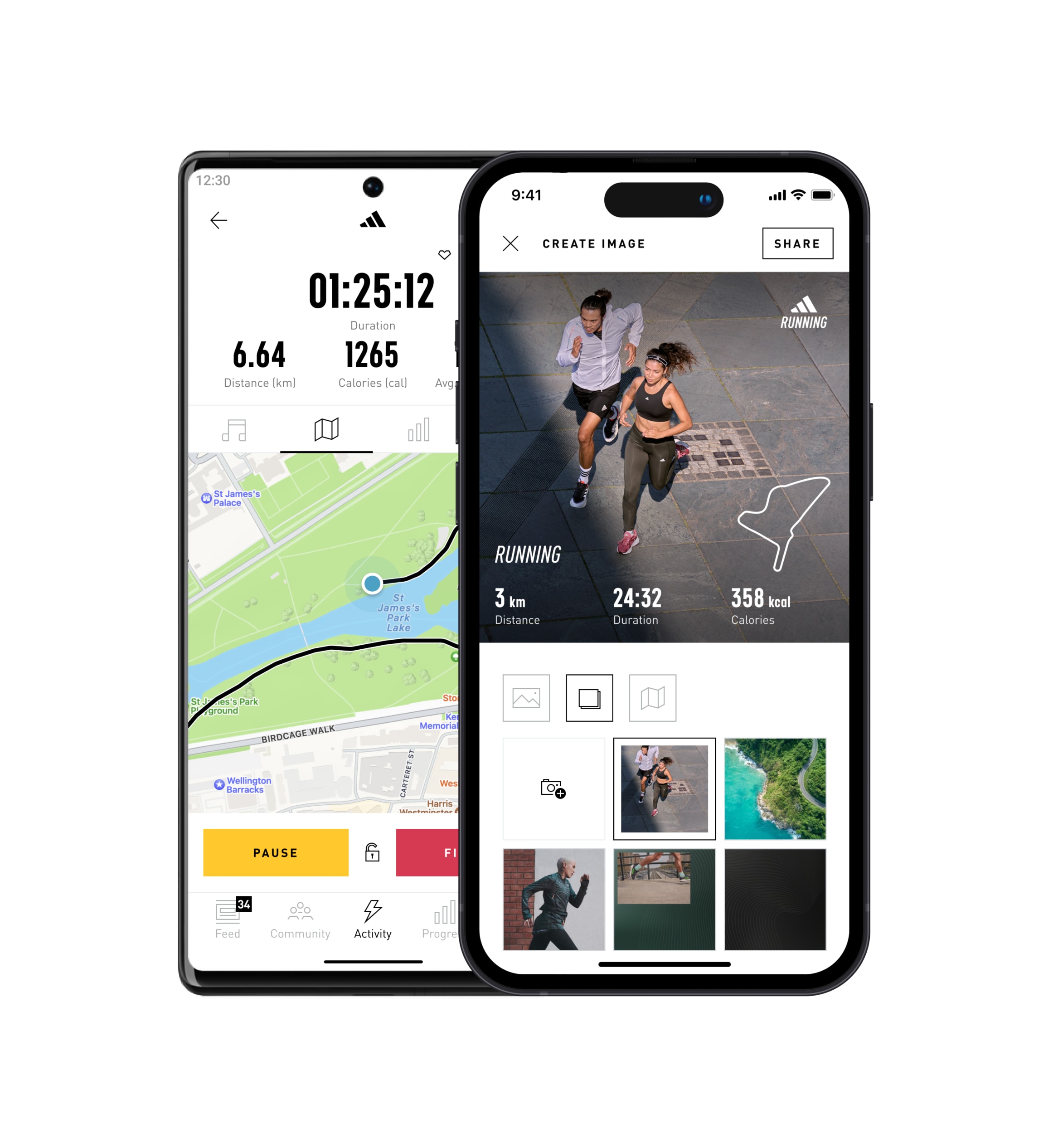
TRACK ACTIVITIES. BOOST PERFORMANCE. CELEBRATE SUCCESS.
Record your workouts and review your statistics. Join challenges to get motivated – push your limits. Share your success with a global community and reach your goals with every step.


CHOOSE YOUR PLAN
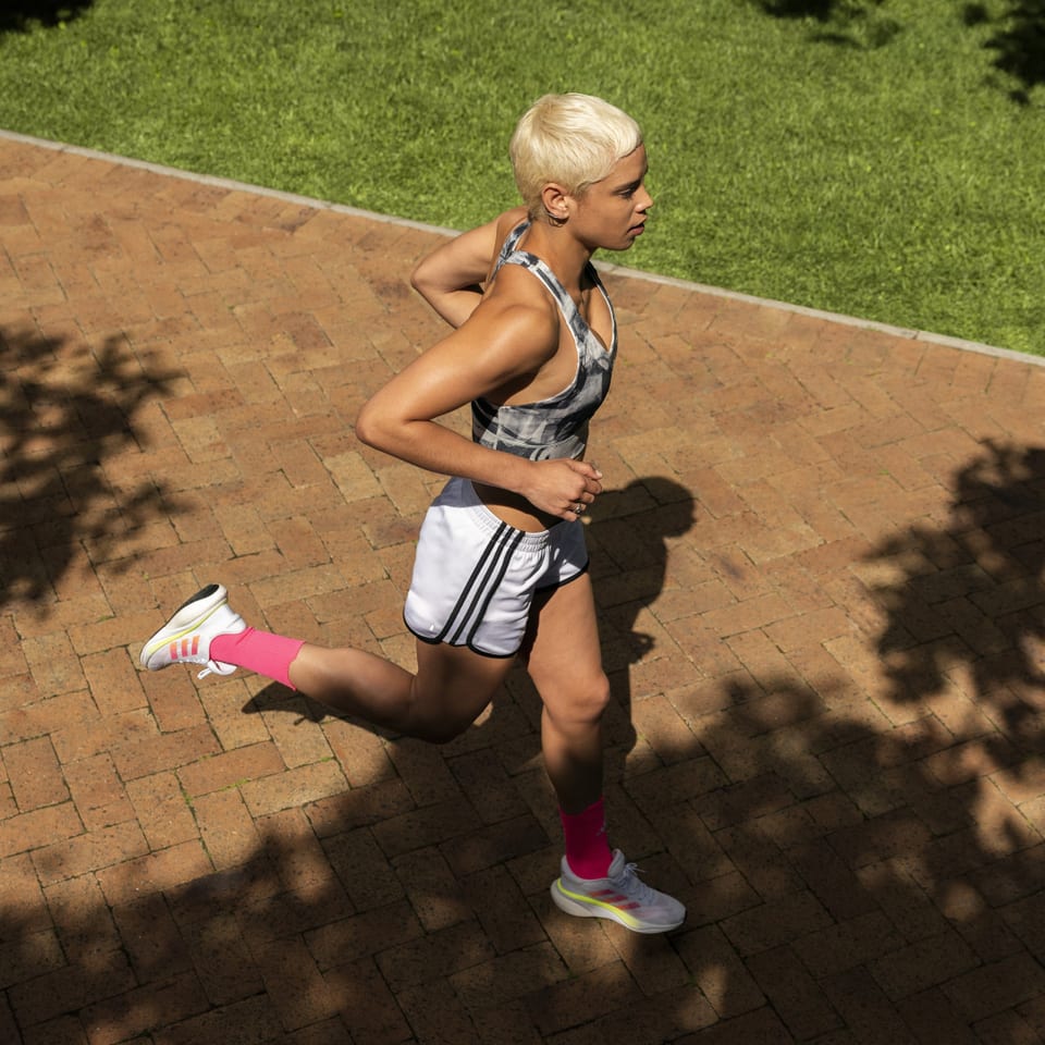
YOUR GUIDED RUNS
Whether you're starting your journey to fitness to improve your health or want to run your first marathon, we've got the plan for you. Discover our new adaptive running training plans for every level of fitness. You'll start with a short fitness evaluation so we can create a plan that matches your needs. With your feedback throughout your training, our plan will automatically adjust to your level.

JOIN EVENTS OR RUN ALONE WITH ADIDAS RUNNING
Use the #1 running app to check in for events, earn rewards, and boost your runs with these features:

Voice Coach
GPS Tracking
Leaderboard
Running Stats
Challenges
Training Plans
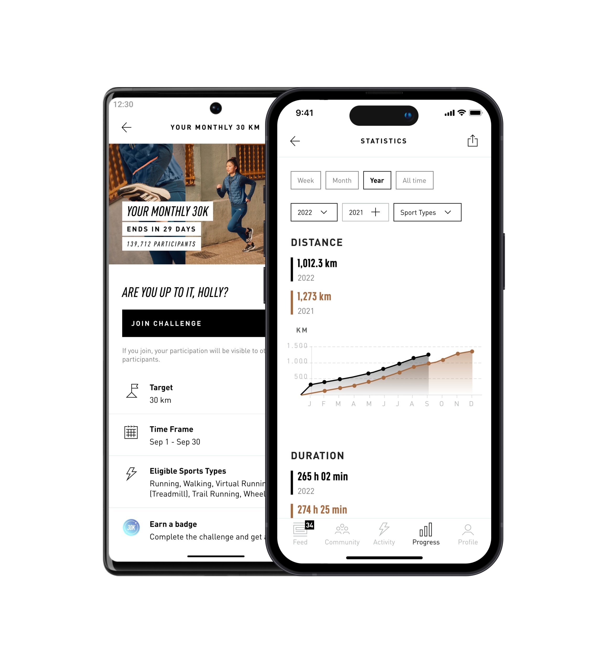
Track activities to earn points
The more you sweat, the more you earn! Whether you run, walk, hike, or cycle in the adidas Running app, your effort will be rewarded!
Disclaimer:
The number of points earned varies depending on the sport type, country, and how you engage with the app (e.g. joining a challenge, virtual race, or setting a goal).

Download adidas Running and join our community!